"Guardian Drones Imaging aerial shots transformed our project completely! The quality, precision, and cinematic feel truly made our visuals stand out."

I'm 107 certified to operate drones safely for commercial use

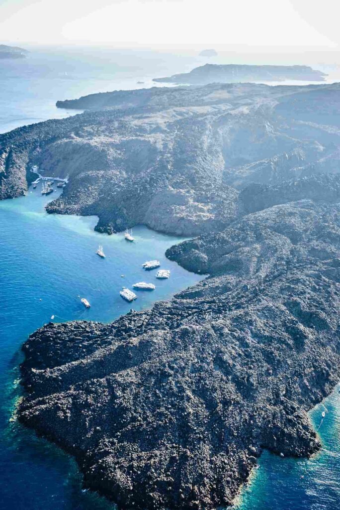
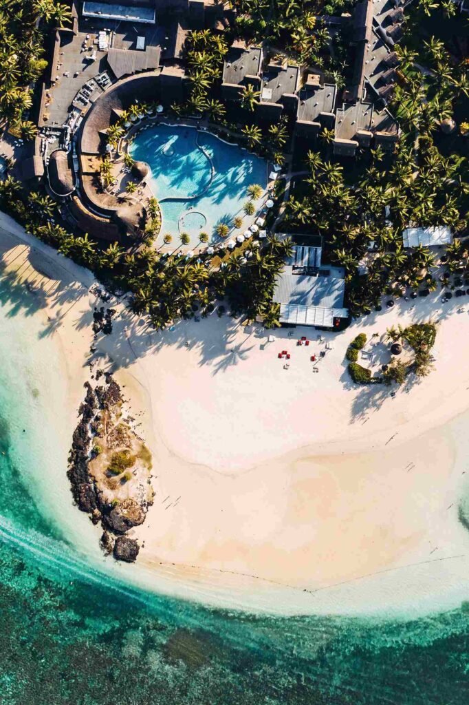
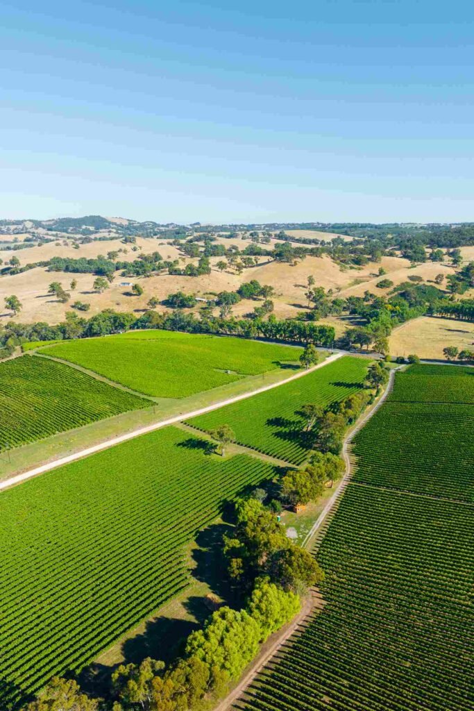
Drone photography offers a new way of viewing and imaging landscapes, buildings, and cities, and drones mounted with specialized equipment can safely and accurately capture incredible amounts of valuable data for photogrammetry and other needs.

DRONE PHOTOGRAPHY, VIDEO, AND SITE MAPS CAPTURE EVERY ANGLE

WE BRING PROFESSIONAL CONSTRUCTION, ENGINEERING DRONE AND UAV SERVICES TO PROJECTS OF ANY SIZE
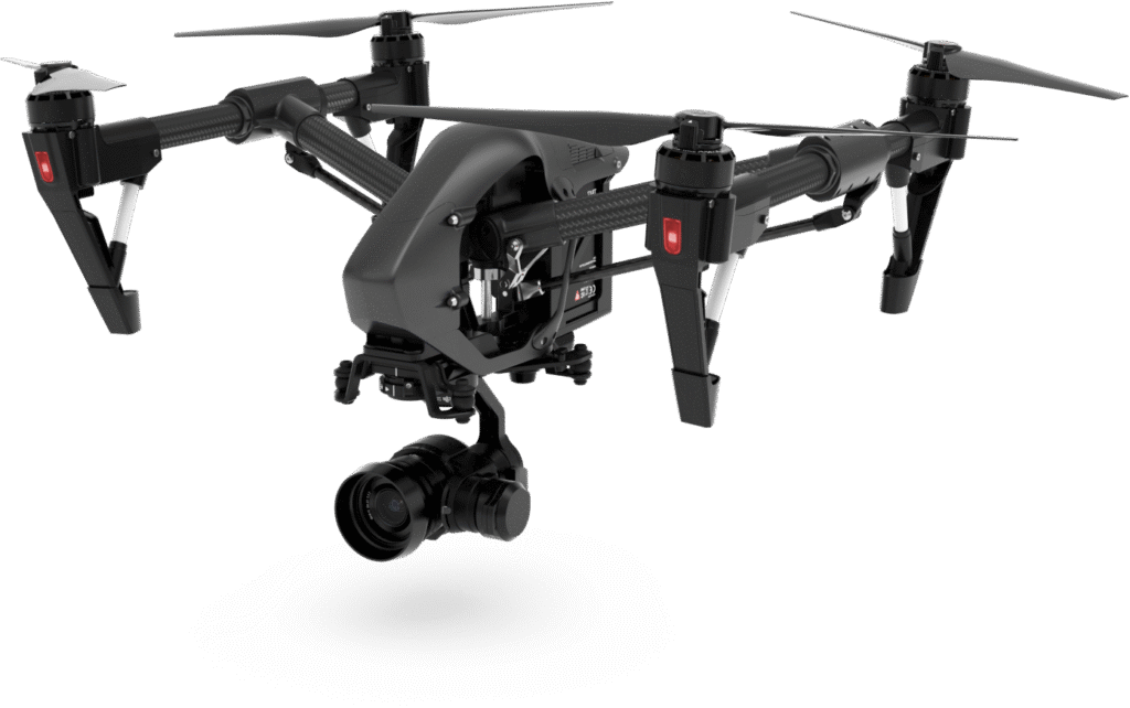
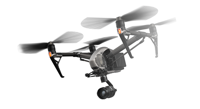
Capture every detail with a high-resolution 30 MP camera for crisp and vibrant shots
Record ultra-smooth 6K/5.2K footage with rich colors and cinematic-level clarity.
Stay airborne for up to 27 minutes, ensuring longer and more dynamic aerial captures
Fly confidently with a 7 km transmission range for stable, long-distance exploration
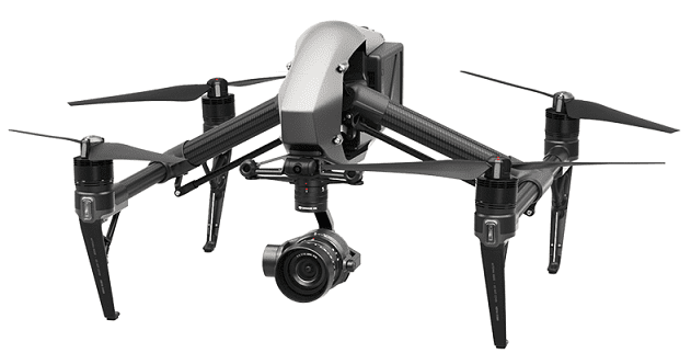
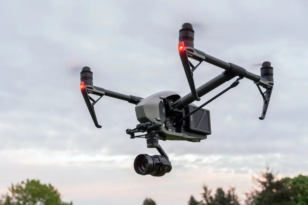
Capture stunning 16 MP images with rich details and vibrant colors for any scene.
Shoot ultra-smooth 4096x2160(23.98p) with HDR support for cinematic visuals
Enjoy extended 34-minute flight time for capturing more dynamic aerial content
Experience stable, long-distance flights with a reliable 7 km transmission range.
Apple ProRes codecs provide an unparalleled combination of multistream, real-time editing performance, impressive image quality, and reduced storage rates
All Apple ProRes codecs support all frame sizes (including SD, HD, 2K, 4K, and 5K) at full resolution.
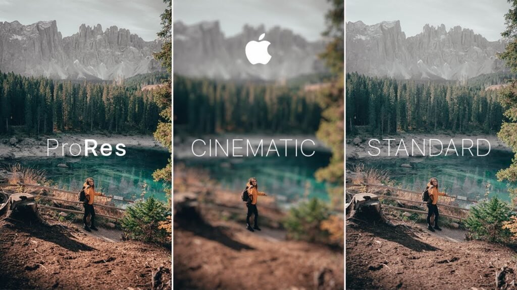
Apple ProRes codecs take full advantage of multicore processing and feature fast, reduced-resolution decoding modes.
To bring the same performance, quality, and ease of use introduced by Apple ProRes to raw media, use Apple ProRes RAW.
CinemaDNG is the result of an Adobe-led initiative to define an industry-wide open file format for digital cinema files
CinemaDNG caters for sets of movie clips, each of which is a sequence of raw video images, accompanied by audio and metadata.
CinemaDNG supports stereoscopic cameras and multiple audio channels.
CinemaDNG is different from the Adobe DNG (Digital Negative) format that is primarily used as a raw image format for still cameras. However, each CinemaDNG image is encoded using that DNG image format.

Skydrone delivers unmatched aerial photography and videography with precision and skill

We turn your ideas into breathtaking aerial shots, offering innovative solutions for all

Our team of certified drone pilots ensures safe, reliable, and stunning results for every project

Skydrone uses cutting-edge drones and equipment to provide exceptional and detailed visuals
"Guardian Drones Imaging aerial shots transformed our project completely! The quality, precision, and cinematic feel truly made our visuals stand out."

"Their drone service exceeded our expectations! The stunning aerial shots and smooth video footage brought our marketing campaign to life."

"Professional, skilled, and detail-oriented! Skydrone captured breathtaking aerial shots that enhanced the appeal of our real estate listings."

"Guardian Drones Imaging delivered beyond what we imagined! The aerial footage from our event was sharp, and added a whole new perspective to our coverage."

“From consultation to final delivery, Guardian Drones Imaging was outstanding. Their high-quality drone footage gave our documentary a stunning and amazing."

"I was amazed by Guardian Drones Imaging’s expertise! The drone shots added a unique and breathtaking perspective to our wedding video, making it truly unforgettable."

"Guardian Drones Imaging's mapping service was a game-changer for our construction project. The detailed aerial surveys helped us plan efficiently and avoid costly mistakes."

"Our wildlife documentary needed stunning aerial shots, and Guardian Drones Imaging delivered beyond expectations! The crisp footage truly captured nature’s raw beauty."

"We needed high-quality drone footage for our resort in our capital city, and Guardian Drones Imaging exceeded our expectations! The stunning aerial views truly showcased our paradise."